Tag Archives: Saddle Mountain

It Is a Nice Day …

North Side of Saddle Mountain
Eastern Washington

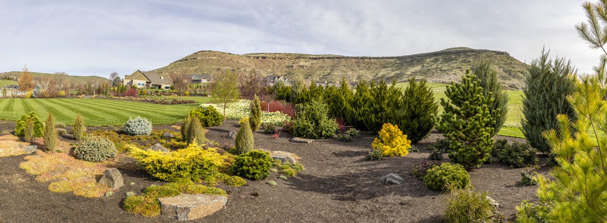
It is a beautiful day and time to get out along side nature. We all have felt “cooped up” for the last several weeks. There are many places where we can go and remain isolated from others and just enjoy the outdoors. Today my mission is to get outside as much as possible and just enjoy nature’s beauty surrounding me.

Have a wonderful day!

Related Images:

More Ice Age Geology – Corfu Landslide

Corfu Landslide – Saddle Mountains, Central Washington

This image was taken from  Lower Crab Creek Road.  It is a small section of the Corfu Landslide. Lower Crab creek is in the foreground. This part of the landslide was probably post Missoula Floods.  It looked like the rocks at the base were not eroded, hence it probably occurred following the last floods.  The land slide extends upward to the Saddle Mountains crest.  A couple of weeks prior to taking this image,  I was at the crest of the Mountain looking down.  Refer to my post of 27 March.

Related Images:

Missoula Floods: Rattlesnake Ridge – Here Comes the Rain

Rattlesnake Ridge and Pasco Basin from Saddle Mountain, Washington

This image was taken from the top of Saddle Mountain looking southwest toward Rattlesnake Ridge.  During the Missoula Floods, the water level of Lake Lewis between these two ridges was about 600 feet above the current basin floor.

As I was photographing on top of the mountain, I felt a cold wind pick up.  The skies turned dark and I could see the rain coming toward me.  I decided it was a good time to pack up my gear and head down the steep gravel/dirt road before it turned to mud.  It was the end of a good day and a great trip driving around the Pasco basin exploring for traces of the Ice Age floods.

Related Images:

Missoula Floods: This Was Once a Lake

Pasco Basin and Columbia River, Washington

This image was taken from the top of Saddle Mountain looking south toward the Pasco Basin. (Yesterday’s post was from the same location looking north toward the Othello Basin.)

Can you believe that this was once a 800 foot deep lake?  During the Missoula floods, water entered the Pasco Basin northeast from the Palouse, north from the Drumheller/Othello Channels and northwest from the Columbia River through Sentinel Gap.  Wallula Gap blocked the water from flowing freely through the Columbia Gorge to the Pacific Ocean.  The result was the temporary Ice Age Lake Lewis.  Today, the Columbia River meanders through the basin.  The Hanford Nuclear Research facility is located south and east of the river.  Rattlesnake Ridge is visible in the background.

Related Images:

Missoula Floods: Facing Drumheller Channels

Drumheller Channels in Distance from Top of Saddle Mountain

This image was taken from the top of Saddle Mountain (~1,300 ft elevation) looking north east over the Othello basin toward the Drumheller Channels.  Imagine a wall of water 200 – 300 feet high racing over an 8-11 mile stretch over the Drumheller Channels at over 60 miles per hour.  This was the amount of water that was released (multiple times) when the Lake Missoula glacier dam broke releasing the water over the Eastern Washington basin.  Saddle Mountain broke the onslaught of water.  Some flowed west through the Crab Creek Coulee to the Columbia River and Sentinal Gap.  The remainder rushed around the eastern edge of the Mountain and into the Pasco Basin and Lake Lewis.

Related Images: