Category Archives: The Grand Landscape

The overview of the natural landscape.

The Palouse Sky

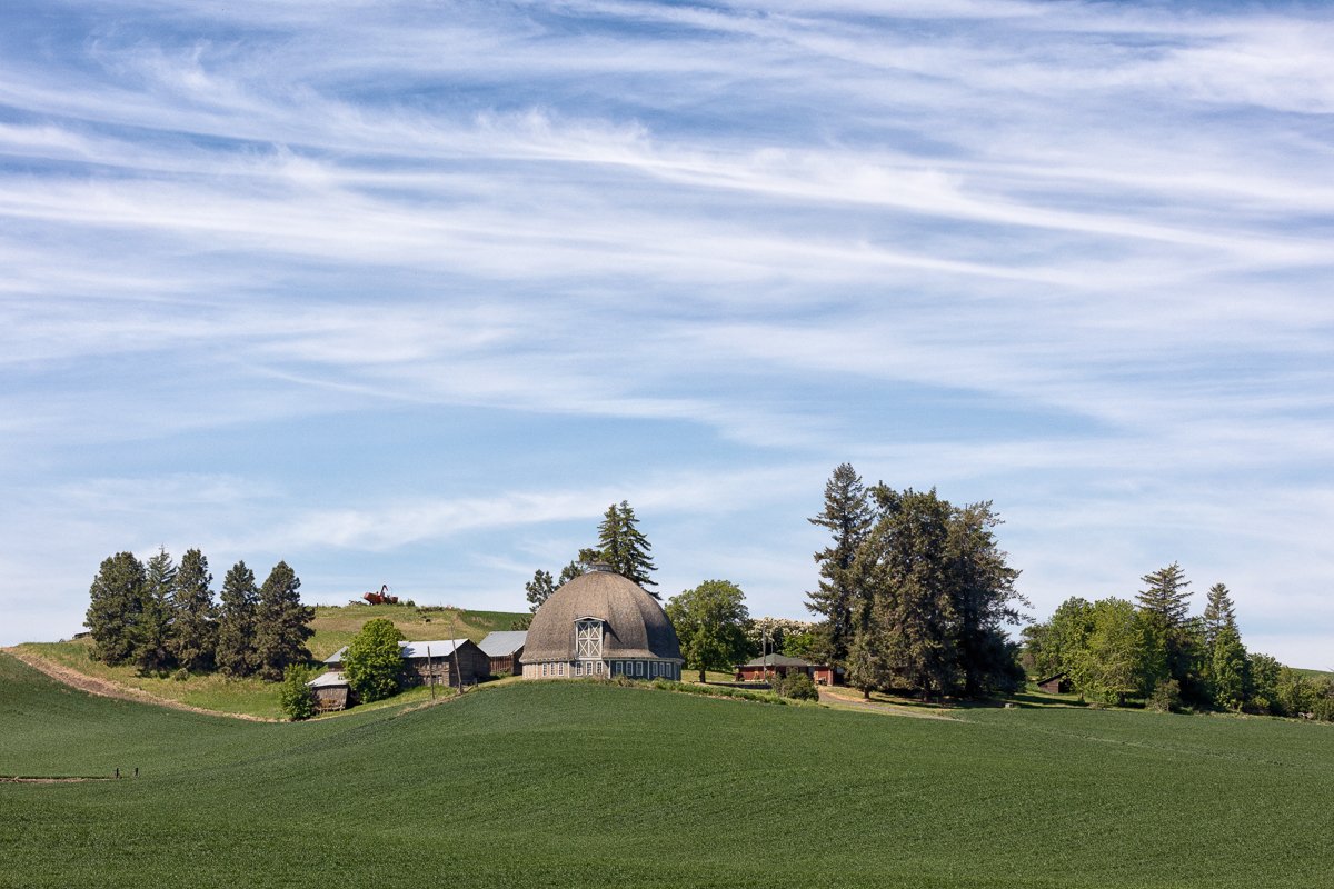
“Two White Barns and Steptoe”
The Palouse, Washington

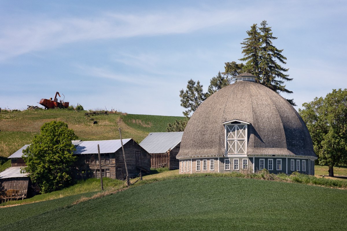
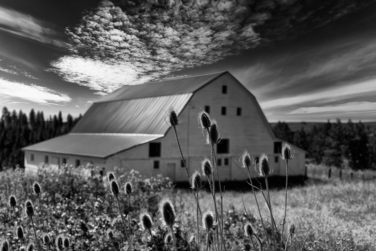
I started out searching for these iconic two white barns in the fields of the Palouse. I first focused my images on the two white barns. I wasn’t excited about what I had created. They were just nice photos of two white barns. I stepped back and asked myself why I was making the images. It was the wonderful Palouse sky and the quaint farm setting in the rolling hills around Steptoe Butte. I switched my perspective to the overall setting and away from the iconic barns.

Related Images:
Contradiction

“Thank You!”
The Palouse, Washington

Contradiction

Sun-fired billows top a melancholy base of grays and dull pinks.
Cool spring green alternates with curves and shadows.
One scene; infinite possibilities.

Mary Dahlin Graf

What a great way to end a wonderful day. The sun was on the horizon setting the clouds on fire. We gazed up and shouted “Thank You!” in unison.

Related Images:

An Anomaly

“Steptoe Butte”
The Palouse, Washington

The Columbia River Lava flows make up most of the bedrock of the Palouse. Fifteen to eighteen million years ago fissures in southeastern Washington, northeastern Oregon, and southwestern Idaho spewed out great lava flows over the Columbia Basin. Steptoe Butte created by a metamorphic rock protrusion 400 million years ago rises 1000 feet above the lava flows.

Related Images:

Patience

“Sunlight on the Curves”
Palouse, Washington

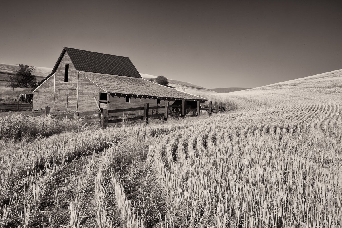
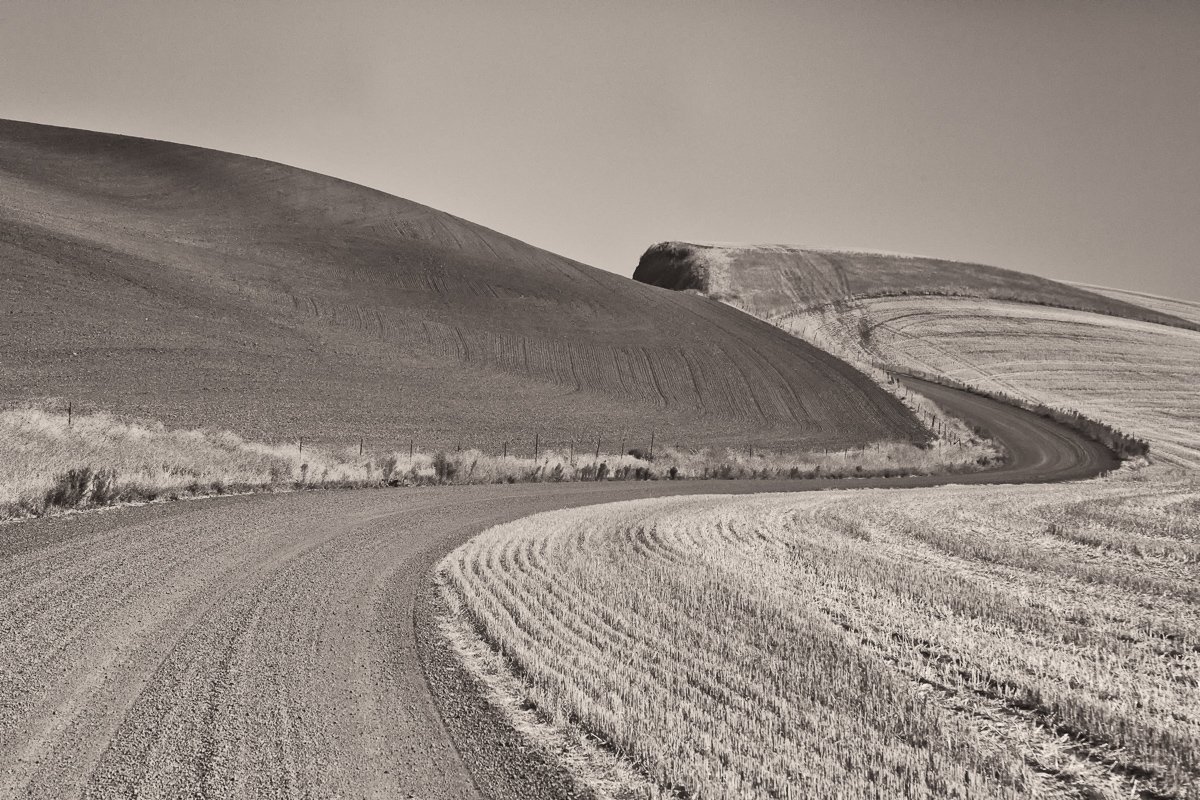
Springtime in the Palouse is a wonderful time to practice my skills using infrared photography. The bright green winter wheat and the great clouds add to the experience. It was a cool windy day with rapidly moving clouds. Patches of sunlight rolled along the hills. I spent about an hour and created almost 100 images trying to catch different patches of sunlight crossing the two curvy hills at the same time. Patience paid off as I was able to catch the bright strips of sunlight on the two ridges.

Related Images:

Clouds, Trees, and a Fence

Neighbor’s Pasture
Heatherwood Spring

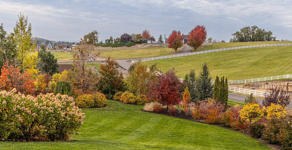
The clouds make this infrared image of our neighbor’s pasture. We “borrow” this scene for our lower Heatherwood garden. We are surrounded on three sides (N,E, and W) by hills and look over a valley to the south. In the design of Heatherwood, we have opened up and framed vistas of the surrounding countryside. There is always something interesting to explore with our eyes and imagination.

Related Images:

It Was a Sunny Afternoon …

“Overlooking Heatherwood and the Valley Below”
Heatherwood Spring

It was a sunny late afternoon. The lower yard was in bright sunlight and the valley below was covered with clouds. I had not photographed in infrared in over six months, so I decided to grab my IR camera and play with the light and shadows.

Spring is the time to work with infrared photography as all the green emerge from the deciduous trees and the spring grasses. I look forward to experimenting and improving my IR skills as the hills turn green around us.

Related Images:

Thinking Spring

“Springtime”
Seattle Japanese Garden

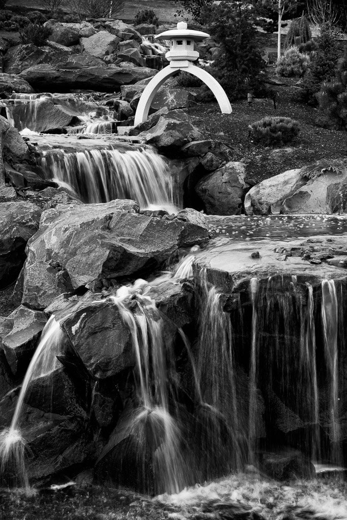
There are just four weeks until the first day of spring. Though there is still snow on the ground at home, temperatures are getting warmer and my mind is starting to transition to spring. I am starting to think about spring trips to Northwest gardens like the Seattle and Portland Japanese gardens. We have not been to either one since the fall of 2019 prior to Covid-19. Each time I visit a garden, I come back with a mind full of ideas. Right now, we are focusing on selecting the right type of rhododendrons, azaleas, shade trees, deciduous shrubs and ground covers for Heatherwood’s Japanese garden. I am ready for a little inspiration.

Related Images:

Golden Afternoon Light

South of Sentinel Gap
Central Washington State

After passing through Sentinel Gap on our Saturday drive, I arbitrarily picked a side road and headed west toward the Columbia to see if I could get a different perspective of the Gap. The road ended up at a small boat ramp on a backwater pond near the river. The sun was just about ready to drop behind Umptanum Ridge. The late afternoon created a beautiful glow on the grasses and winter tree trunks. As a little bonus, I was able to get a piece fo the western ridge of Sentinal Gap in my image. For reference, the height of the water in the Columbia River approached the top of this ridge during the Missoula Floods. The area where I was standing when taking this image was at the bottom of Ice Age Lake Lewis. The water would have been several hundred feet above my head during the floods.

Related Images: