Monthly Archives: April 2017

Drumheller Channels: Missing a Tooth

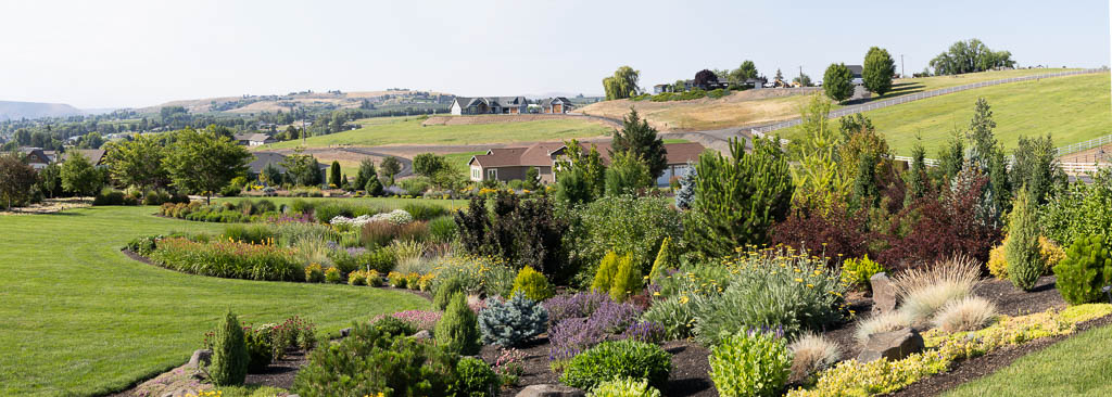
Drumheller Channels – Othello, WA

The first thing I thought of when I looked up and saw this section of columnar basalt was that it was missing a tooth.  Columnar basalt is very susceptible to water erosion because of its many fissures.  The raging water of the Missoula Floods easily plucked the columns from their path.

Related Images:

Amazing What Water Can Do

Large Pothole – Drumheller Channels

Water did this!  During the Missoula Floods water rushed through Drumheller Channels at about 55 miles per hour.  The water level was about 200 feet above the mesa on the upper right  corner of the photo.  Through the Drumheller Channels the water followed multiple channels.  Turbulent circular, tornado like, flows cut potholes throughout the area.  This one is unique due to the outcropping in the “eye” of the swirl.

A short walk on the Upper Goose Lake trail will bring you to this amazing phenomenon.  The uniqueness of this area continues to amaze me.


Related Images:

Drumheller Channels Overlook

Drumheller Channels Overlook

It is hard to comprehend how enormous the Missoula Ice Age Floods were.  The edge of the bluff in the top left hand corner is approximately 200 feet high.  The water level during the Missoula Floods was about 200 feet above the top of the mesa.  The distance across the Drumheller Channels was 8-11 miles wide.  The water is estimated to have moved through here at 50+ miles/hour.  The landscape left behind is amazing.  My mind wanders about contemplating what it must have been like.

This image was taken at the overlook off the main road running through the reserve.

Related Images:

Better, But Still a Lot of Practice Needed

Sandhill Crane Near Othello, WA

This image is technically better that the one in my previous post.  However it is still not as sharp as I would like.  The original image was taken with a 600mm equivalent configuration on a full size image sensor camera.  In addition I cropped the image by a 16x factor.

I need a lot more practice to get the image as sharp as I would like.  I do not think that I am at my equipment’s limit yet.

Related Images:

Sandhill Crane (???) – Luminar

I just returned from a weekend photographing Sandhill Cranes near Othello, WA.  The cranes are on their migration path from central California, where they winter, to Alaska.  I am relatively new at bird photography.  I practice a lot to get decent images.  I took around 3500 images over a three day period.  My “decent image” percentage is about 2%..  The following sequence is what we went through to photograph the birds.  #1 – Find the birds.  The first day we spent about 4 hours before we saw any Sandhill’s.  #2 – Position myself  to get the sun behind my back.  Hope that wind is coming from the same direction.  The birds land and take off into the wind.  #3 – Have a lot of patience.  Don’t get excited and take hundreds of images of birds on the ground not doing anything or birds that are flying off way in the distance.  #4 – Wait for the birds to do something interesting like taking off/landing or “dancing” on the ground.  #5 – Anticipate, be be ready.  You do not have a lot of time to focus and shoot.  #6 – Make sure you are focused on the bird before you shoot.  I had a lot of blurry images (I meed a lot of practice).  #7 – Pray that you captured a few good images.  My success rate was not very good.  #8 – Shoot with someone who knows what they are doing.  Thank you Jack!!!

The above image was not my best, but it had some interesting lighting.  It was a good opportunity to do a little post processing.  I will include sharper images in future posts.

After looking at this, I laughed at myself.  This is not a sandhill crane … it’s a Canadian goose.  It is still a beautiful sight though.

Related Images:

Missoula Floods: Rattlesnake Ridge – Here Comes the Rain

Rattlesnake Ridge and Pasco Basin from Saddle Mountain, Washington

This image was taken from the top of Saddle Mountain looking southwest toward Rattlesnake Ridge.  During the Missoula Floods, the water level of Lake Lewis between these two ridges was about 600 feet above the current basin floor.

As I was photographing on top of the mountain, I felt a cold wind pick up.  The skies turned dark and I could see the rain coming toward me.  I decided it was a good time to pack up my gear and head down the steep gravel/dirt road before it turned to mud.  It was the end of a good day and a great trip driving around the Pasco basin exploring for traces of the Ice Age floods.

Related Images: