Category Archives: The Grand Landscape

The overview of the natural landscape.

Missoula Floods: Sentinel Gap 2

Sentinel Gap, Washington

This image was taken north of Sentinel Gap, looking south.  The Columbia River is barely visible in the center of the photo.  During the Ice Age Missoula Floods, Crab Creek thundered through here joining the Columbia River.  This was the western path for the waters rushing through Drumheller Channels as it was diverted by the Saddle Mountains.  The small rocks in the foreground are likely to have been carried by the rush of water as it carved out the scablands through the Drumheller Channels.

Related Images:

Missoula Floods: Sentinel Gap

Sentinel Gap, Washington

This image was taken looking north through Sentinel Gap.  This gap cuts through the Saddle Mountains which separate the Pasco and Othello basins in Eastern Washington.  The Columbia River runs through this gap on its way to the Oregon/Washington border.  At the time of the Missoula Floods, the water level going through the gap reached the top of the left ridge, flowing into Lake Lewis which covered the Pasco basin.

The erratics in the foreground most likely are from the gap, carved away by the raging wall of water that flowed through it.

Related Images:

Missoula Floods: This Was Once a Lake

Pasco Basin and Columbia River, Washington

This image was taken from the top of Saddle Mountain looking south toward the Pasco Basin. (Yesterday’s post was from the same location looking north toward the Othello Basin.)

Can you believe that this was once a 800 foot deep lake?  During the Missoula floods, water entered the Pasco Basin northeast from the Palouse, north from the Drumheller/Othello Channels and northwest from the Columbia River through Sentinel Gap.  Wallula Gap blocked the water from flowing freely through the Columbia Gorge to the Pacific Ocean.  The result was the temporary Ice Age Lake Lewis.  Today, the Columbia River meanders through the basin.  The Hanford Nuclear Research facility is located south and east of the river.  Rattlesnake Ridge is visible in the background.

Related Images:

Missoula Floods: Facing Drumheller Channels

Drumheller Channels in Distance from Top of Saddle Mountain

This image was taken from the top of Saddle Mountain (~1,300 ft elevation) looking north east over the Othello basin toward the Drumheller Channels.  Imagine a wall of water 200 – 300 feet high racing over an 8-11 mile stretch over the Drumheller Channels at over 60 miles per hour.  This was the amount of water that was released (multiple times) when the Lake Missoula glacier dam broke releasing the water over the Eastern Washington basin.  Saddle Mountain broke the onslaught of water.  Some flowed west through the Crab Creek Coulee to the Columbia River and Sentinal Gap.  The remainder rushed around the eastern edge of the Mountain and into the Pasco Basin and Lake Lewis.

Related Images:

Mountain or River, Which Came First

Yakima River Canyon, Washington

How did a river cut such a gorge through a basalt mountain.  Maybe it didn’t.  The Yakima River originates high in the Cascade Mountains. The upper end of the river was not part of the great Missoula floods that covered Eastern Washington.  The Yakima meanders through several Basalt Ridges.  The nature of a meandering steam is that it flows through a relatively flat plain.  If the mountains were there first, the river would have flowed around them.  So how did the Yakima get through the mountains.  Maybe the river was there first,  As the ridges slowly developed as part of the Yakima fold formations, the river could have gradually cut a channel through its original riverbed route.

I spent a day slowly driving through the Yakima River Canyon.  I stopped and photographed several interesting rocks and formations. During the next week or so, I will post several of my images.

Related Images:

Starting Up Again

170302_Central CA CoastFuji X-T1, XF 18-135mm @ 89 mm, f/11, 1/350 sec, ISO 400

It has been several months since I entered my last post.  It is time to get started again.  I was motivated to do so by two photographers I went on a photo shoot with along the Central California Coast.  These two, Karen Hall and Vicki Moro, took me on a quick introductory trip along the California coast line above Morro Bay.  They encouraged me to start sharing my images again.  Thank you Karen and Vicki for a great day and the stimulus!

This image is of the hills above Morro Bay.  What caught my eye was the layers of shadows across the emerald green hills, the water, the distant hills, and the clouds.  The shot was at mid-day, so I combined several images to create a balanced exposure.

Related Images:

Welcome to the Palouse

160923_sunset-on-palouseCanon 5D MkII, EF 24-105 f/4 L @ 58mm, f/11, 1/15 sec, ISO 200

This is what greeted me as I drove up to the Palouse in SE Washington State for a week of exploring and photographing.  The brilliant pink and orange lasted for only a few minutes.  I rapidly looked for a place to pull off the highway.  By the time I got out and pulled out my camera, the magic was just about over  In less that a minute the glow was gone.  Too bad it is illegal to stop in the middle of a highway to capture a shot.

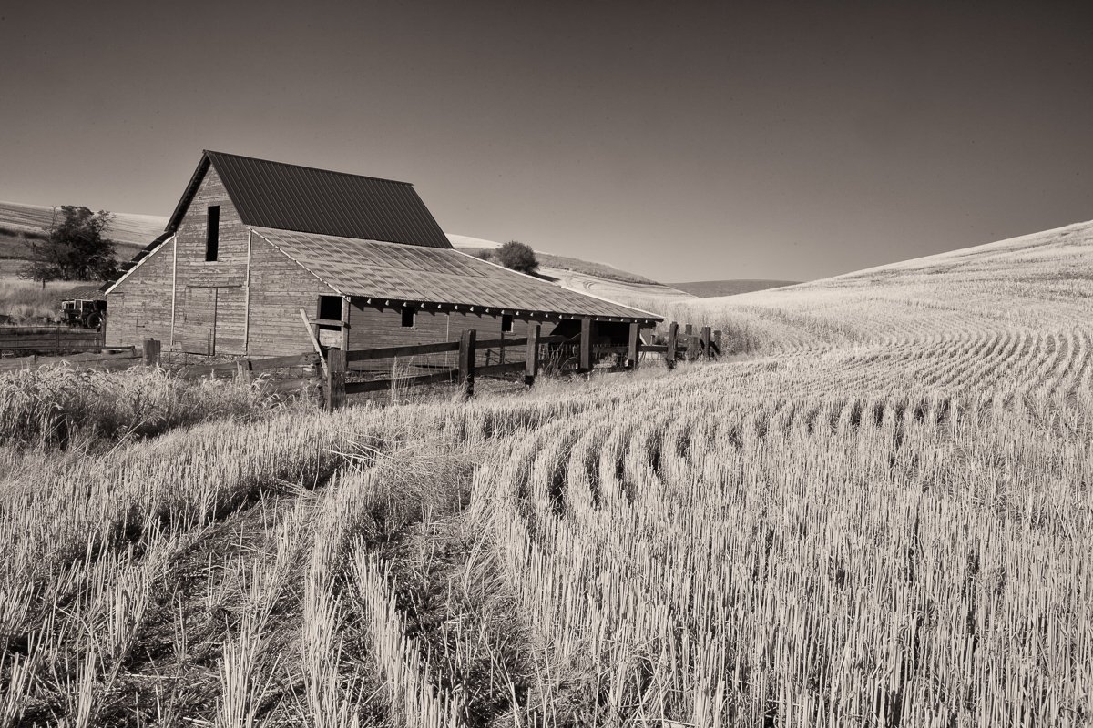
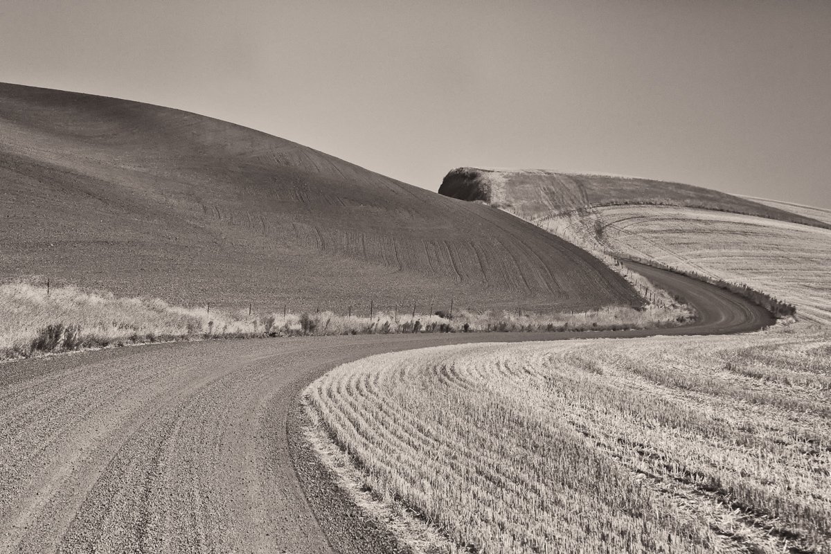
I was really excited about the clouds and what I expected to see during the next few days.  However, the clouds did not come back during my stay.  So I focused on the rolling hills, unique lines, and architectural elements.  This trip was for scouting anyway.

Related Images:

Star Gazing

160714_Milky WayMilky Way in Central Oregon

The skies were clear and dark with a new moon.  We were out in a remote area in Central Oregon near the Prineville Reservoir. The skies were brilliant with stars shining everywhere.  I had not been in such a site since I was in Boy Scouts over 50 years ago.  I stared, stared, and stared, totally engrossed in the beauty and the enormity of the heavens above me.  I dreamed about all the possibilities out there for other forms of life.  It was a wonderful, amazing night that I will never forget.


Related Images: